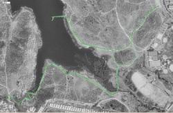
Piedras Pintadas Interpretive Trail |
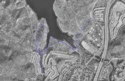
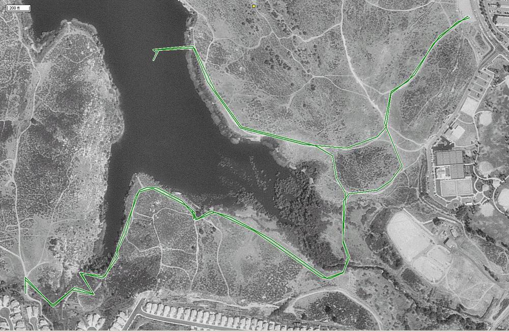
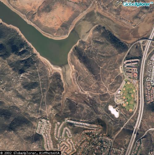
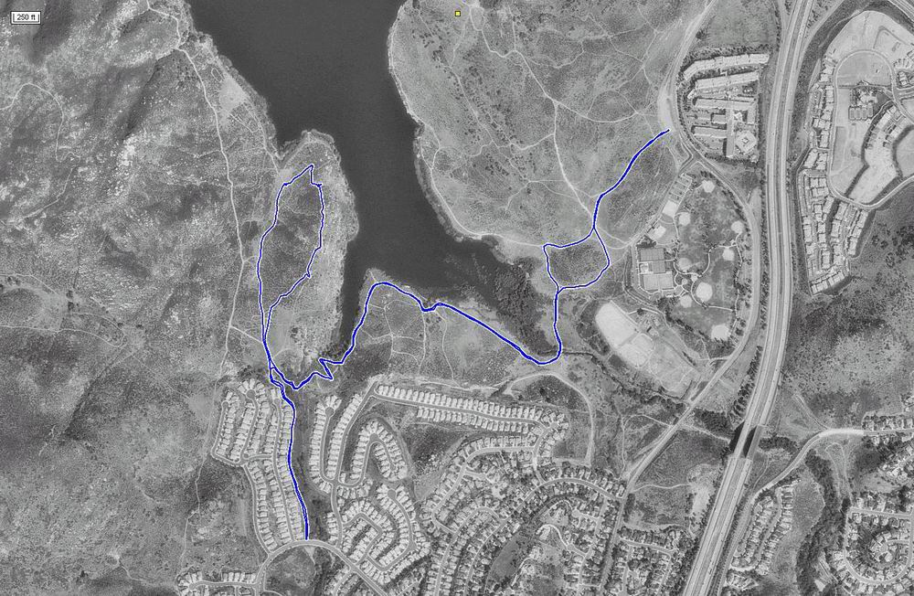
| For this hike along the southern shore of Lake Hodges, we started at a dirt parking lot off of
West Bernardo Drive. Here's our GPS track and another aerial photo. Where it looks like we walked out into the middle of the
lake -- guess what? we did! This whole area is dry now. |
 |
 |
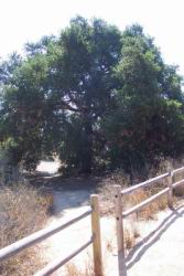
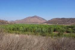
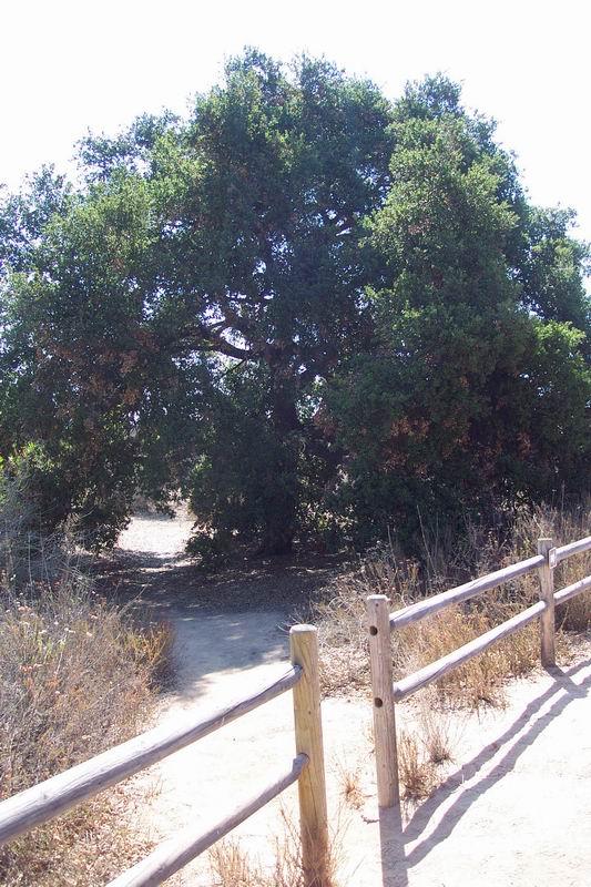
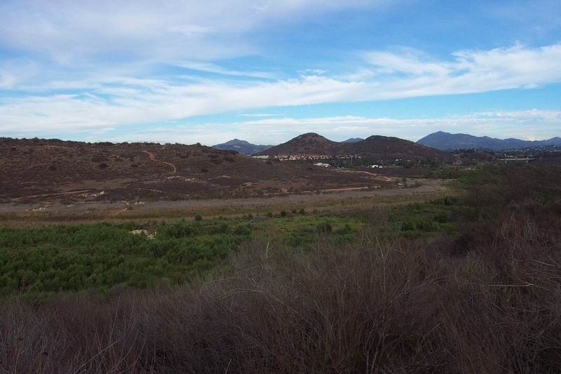
| This next picture was taken from a rock in the middle of what used to be a finger of the lake, looking
towards the western "shore" of this finger. The oak tree is a good resting point mid-way down the trail. |
|
|
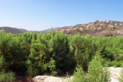
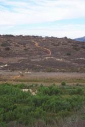
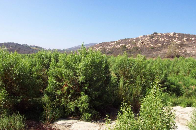
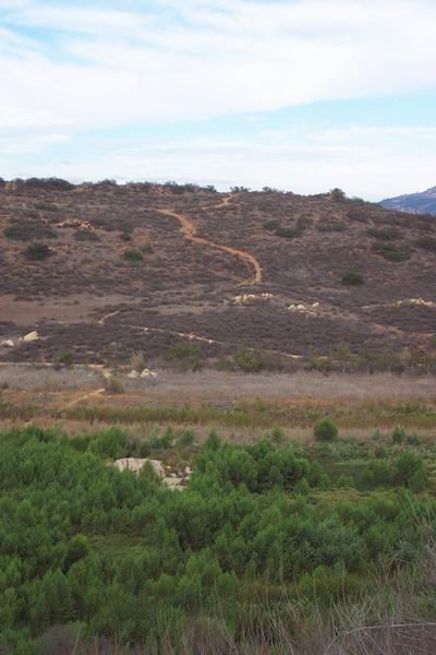
| Here's a picture from the other "shore" looking back towards the rock we'd been standing on. Not
a whole lot of water happening here. |
|
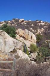
| And here's an honest-to-God waterfall -- with water! I never expected to see that back here. |
|
|
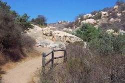
The second time we did the Piedras Pintadas trail we skipped the detour into the lake, and
completed the loop we'd intended to do the first time. George then did a little excursion along the back of a residential
area to try to figure out a good parking spot at that end of the trail. |
|
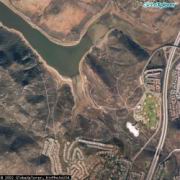
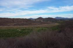
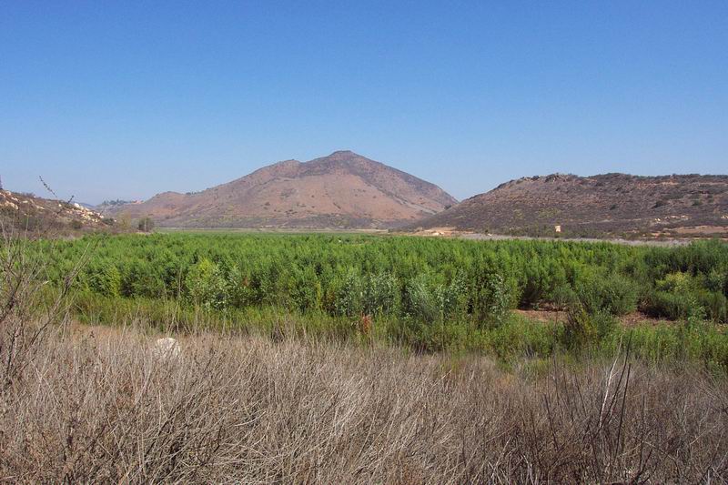
| Here's some pictures looking out over what
used to be the lake. The second one shows the rock in the middle of the "lake" that we'd hiked to before. |
|
|
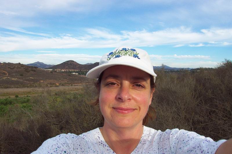
| And here's me... all rosy-cheeked and happy!
|

|
For additional trail information see the
San Dieguito River Park site
or this map of Lake Hodges hiking trails. |
