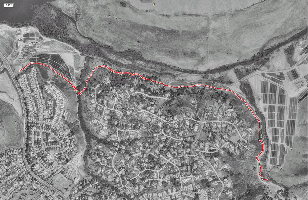
Here's the aerial view of our hike.
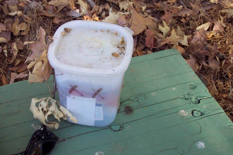
When we get to the cache location, we look and look and look. I'm just about to give up when George says he's found it. Well, I never would have thought to look there!
| This trail started in a parking lot off of West Bernardo Road (east of I-15).
The goal of this walk was the
Dos Equis XX
GeoCache -- my first multi-cache. With a multi-cache, the coordinates posted on the GeoCaching site will take you to the
first clue. From there
you might be given a clue to the location of the cache... or it might lead you to another clue. Here's the aerial view of our hike. |
|
|
|
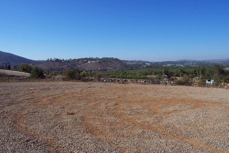
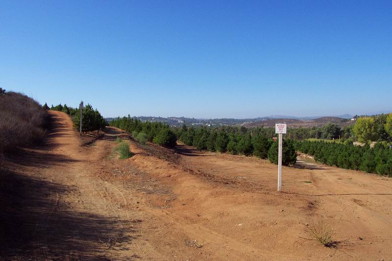
| Here's the starting spot in the parking lot. Near the first cache location, we pass through a Christmas tree farm. | |
|
|
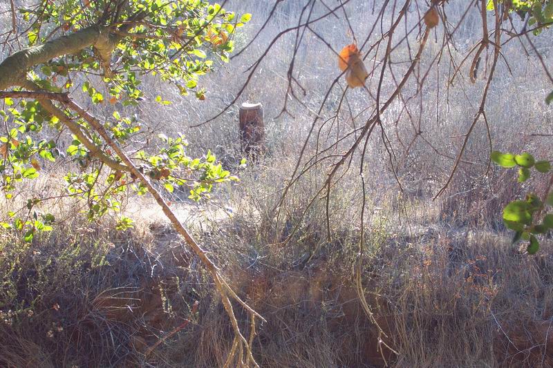
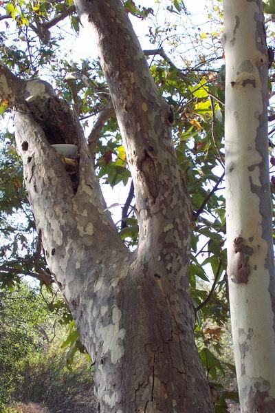
| George locates the cache in this old stump... and we head off to the next location. | |
|
|
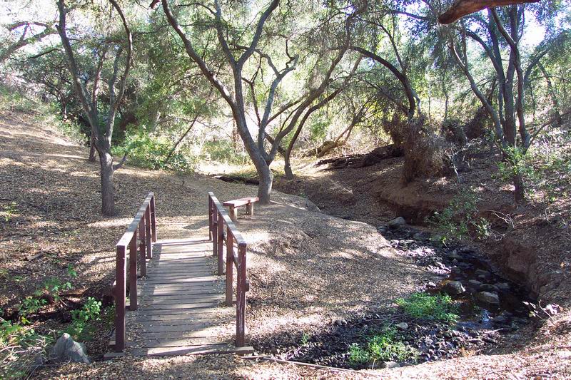
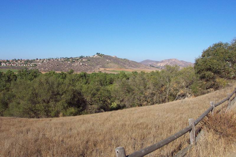
| Along the way we pass some beautiful scenery. | |
|
|
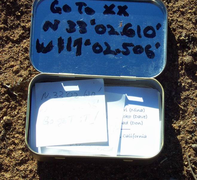
When we get to the cache location, we look and look and look. I'm just about to give up when George says he's found it. Well, I never would have thought to look there! |
|
|
|
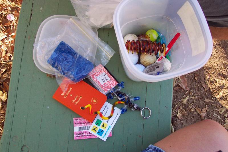
| We inspect the cache and then quickly head on our way 'cause the flies are THICK here. | |
|
|